SMART REALITY CAPTURE
— Powerful and versatile SLAM systems
— Fast indoor/outdoor 3D acquisitions
— Complex and underground environments
— Geospatial and Digital Twin applications
MAIN FEATURES
Patented Algorithms and Unique Design
Discover what makes HERON versatile, flexible and highly professional
Highly compact design
Versatility and reliability for all types of surveys
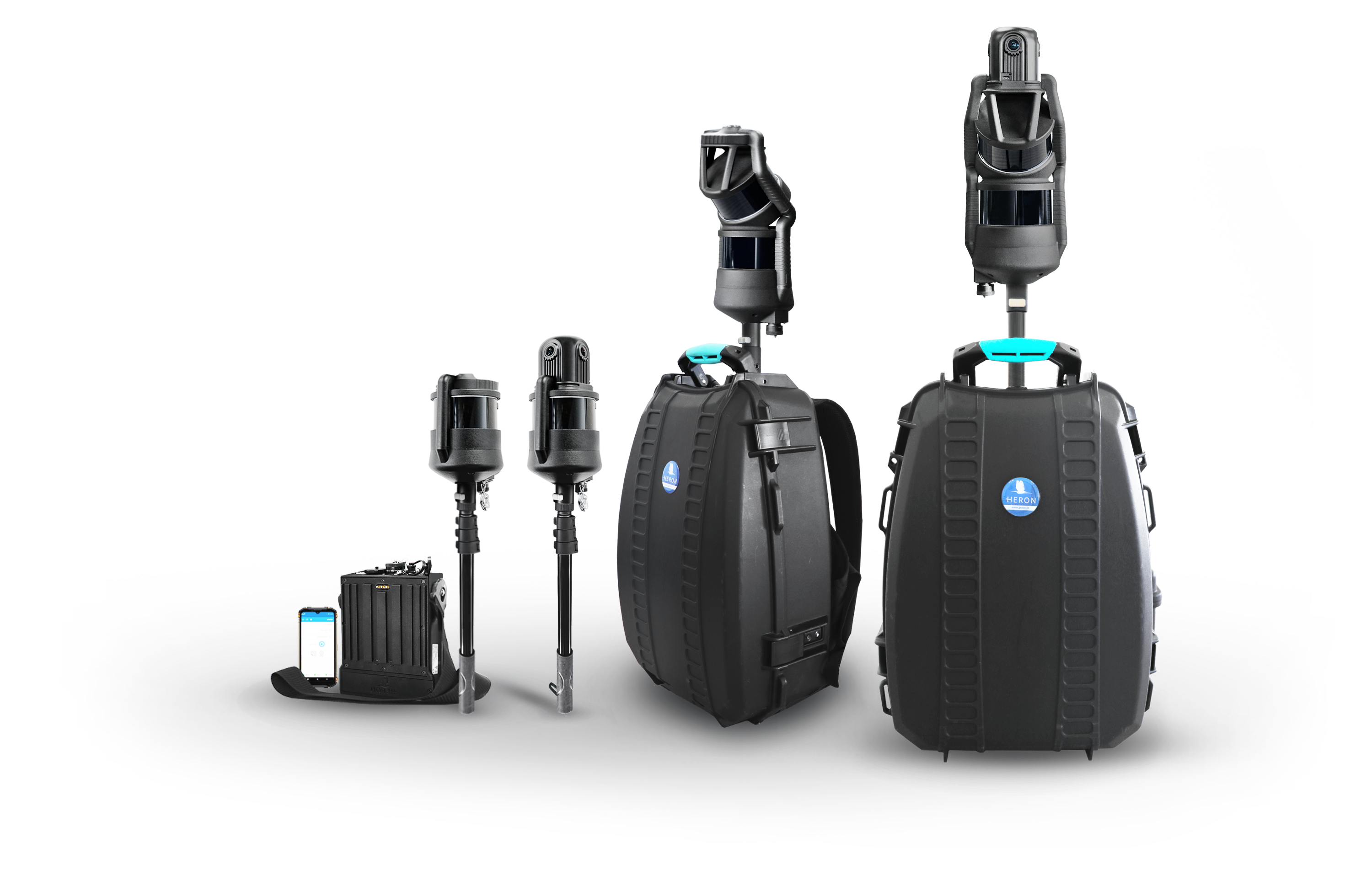
The HERON capture head can be attached to telescopic poles, a rugged backpack, an ultra-thin plate, or mounted on vehicles (cars, quads, boats, robots, etc.). The rugged backpack can be used as both a support for mapping and as a case for transporting all components. The compactness and robustness of HERON allow its use even in challenging environments.
Start to end path freedom
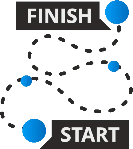
Loop closure not mandatory
Thanks to its patented and innovative SLAM algorithms, HERON provides highly flexible trajectory management, allowing surveying to be completed without the requirement to end at the same point of departure. With loop closure not mandatory, HERON revolutionizes the way surveys are conducted, ensuring efficiency and adaptability throughout the process.

Parameters control
Automatic or advanced processing
HERON offers both automatic processing and an exclusive advanced mode, allowing you to customize every parameter of the SLAM processing interface. With HERON Desktop software, you have the flexibility to choose presets for specific applications and take full control with advanced settings.
Accuracy optimization
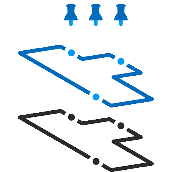
GNSS points and scans as constraints
HERON can anchor its 3D model to constraints so as to increase its overall accuracy. These constraints can be of various kinds:
- GNSS coordinates
- ground points
- physical/natural points
- georeferenced scans (TLS, UAV, Mobile)
These constraints can be obtained in several ways:
- By acquiring control points with HERON during the survey (including on ceilings, sloping walls, rock walls).
- By recognizing known points within the 3D cloud.
- By extracting coordinates from a 2D plan or a digital model (DWG) or BIM.
- By importing georeferenced scans of the same site.
GoBlueprint free tool
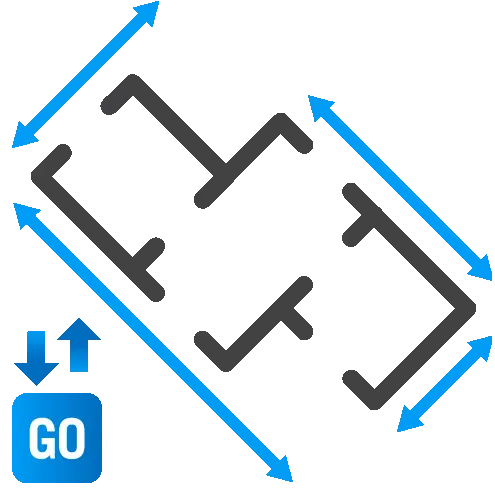
Sharing of easy-to-measure 2D maps
A free tool to nimbly share blueprint/depth maps of HERON models with your end customers. Even users who are not 3D experts can thus easily visualize the surveyed area through a simple 2D interface and make measurements in a highly intuitive way. GoBlueprint runs on any Windows-based computer or tablet.
Multi-sensor integration
3D models with data from different sensors
Reconstructor software, included in HERON, is the ideal platform for merging point cloud models from various lidar sensors and of different formats. Static scans, LAS files, point clouds from UAVs and BIM models can be managed in the same software. In addition, HERON can be the quick and easy way to link point cloud models located inside and outside the mapped site.

Direct export to ReCap
Dedicated workflows and professional results
HERON models can be easily shared and exported in common formats, such as .rcp for Autodesk® ReCap or E57. This results in a brilliant data processing workflow and guaranteed professional results. Point cloud models from a HERON survey project can be easily imported into third-party software for “scan-to-BIM” and progress monitoring applications or any other post-processing analysis.

Digital Twin and sharing
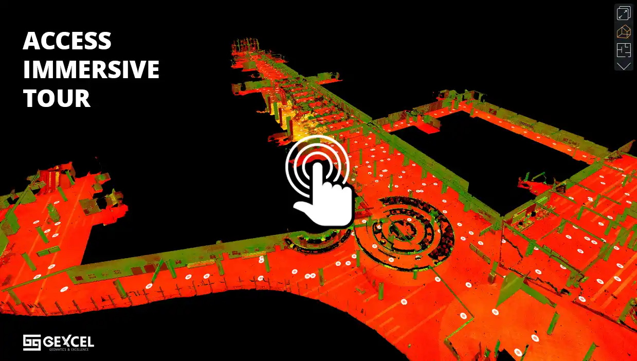
Immersive tours and high-level coworking
HERON’s 3D models can be navigated via immersive tours or uploaded to cloud-sharing platforms for Digital Twin projects. HERON provides a direct connection to Cintoo Cloud, 3DMapping Cloud and Scene WebShare. HERON customers can benefit from dedicated offerings.
MODELS
Compact design and high-level performance
Systems designed to meet the needs of professionals in the field
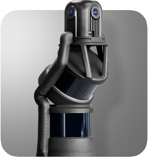
HERON
MS TWIN Color
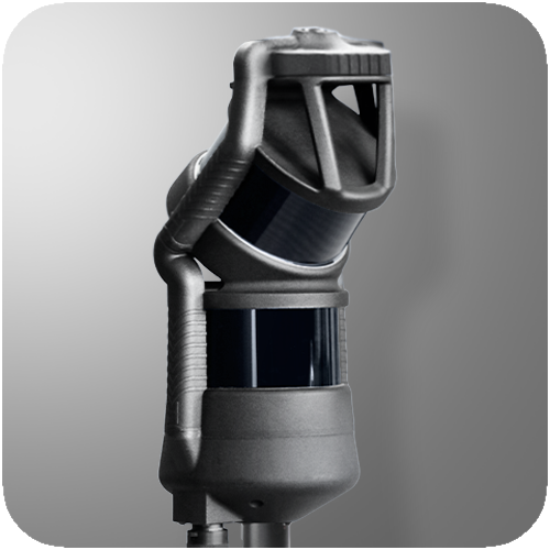
HERON
MS TWIN
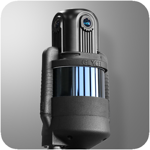
HERON
LITE Color
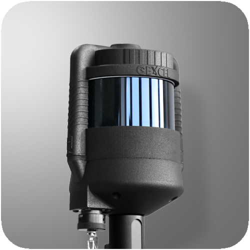
HERON
LITE
APPLICATION FIELDS
No limits acquisitions
Use HERON anywhere, thanks to versatile design and powerful algorithms
Underground mines
Parks and gardens
Stockpiles volume
Cultural heritage
Digital Twin
Industrial plants
Multisensor projects
BIM and construction
Touristic routes
2.5D Maps
SOFTWARE
Advanced processing
On-premise and without processing limits
PRICING
Transparency first
Offers tailored to each customer’s needs
TURNKEY SYSTEMS
TAILOR-MADE OFFERS
CARE PACKAGES
HERON is developed under a licence of the European Commission Joint Research Centre
E. info@gexcel.it | P. (+39) 030 6595001
HEADQUARTERS
Via Branze 45, I-25123 Brescia (BS) ITALY
Follow us!
CONTACT US


