HERON with GNSS
Accuracy without limits
Enhance positioning accuracy and benefit from the flexible usage of HERON—making large-scale surveys more efficient and reliable.
High-precision positioning, seamlessly integrated.
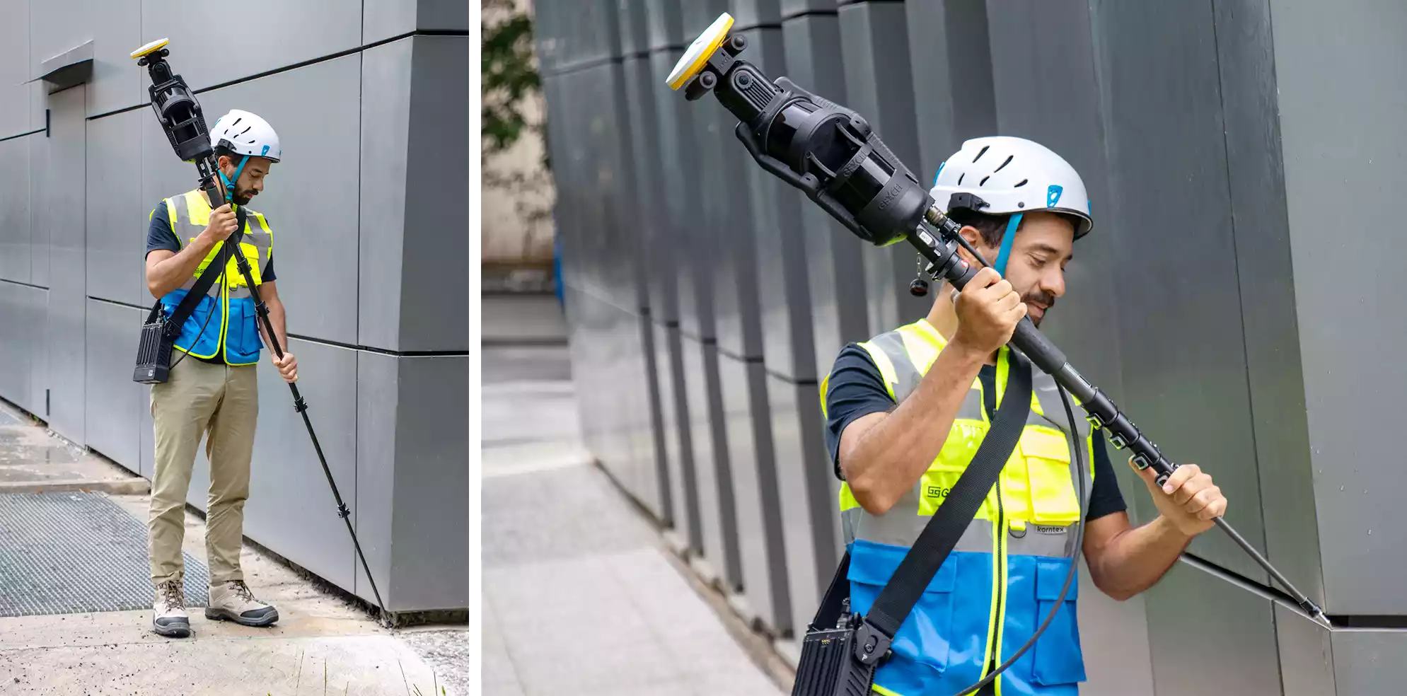
HERON is available with a fully integrated dual-frequency GNSS receiver, designed to deliver centimeter-level accuracy even in the most challenging outdoor scenarios.
When is it needed?
Whenever outdoor operations lack cartographic control points, HERON’s integrated GNSS ensures precise positioning—making large-scale surveys more efficient and reliable.
What does it enable?
With GNSS, you can insert as many control points as required and reach centimeter-level accuracy, even across vast and complex sites such as:
- Urban mapping
- Large quarries
- Infrastructures
- Major civil engineering projects
Accurate Georeferencing
The system allows direct georeferencing in UTM-WGS84, ensuring full cartographic accuracy even without existing ground control points.
Simplicity without borders
Traditional RTK systems require local subscriptions, complex setup, and service-specific access codes. HERON changes the game:
- One global subscription—valid everywhere, no national services needed
- Ready to use—insert your SIM card and start surveying
- Minimal costs—maximum flexibility

RTX Service for remote areas
No network? No problem. HERON GNSS leverages satellite-based RTX corrections, delivering centimeter-level accuracy even in the most remote corners of the world—far beyond the reach of traditional RTK networks.
Smart and user-friendly
The HERON interface has been designed for simplicity and speed. Managing GNSS and survey settings is intuitive, so professionals can focus on results, not procedures.
Note: The GNSS configuration is an option available only at the time of purchase.
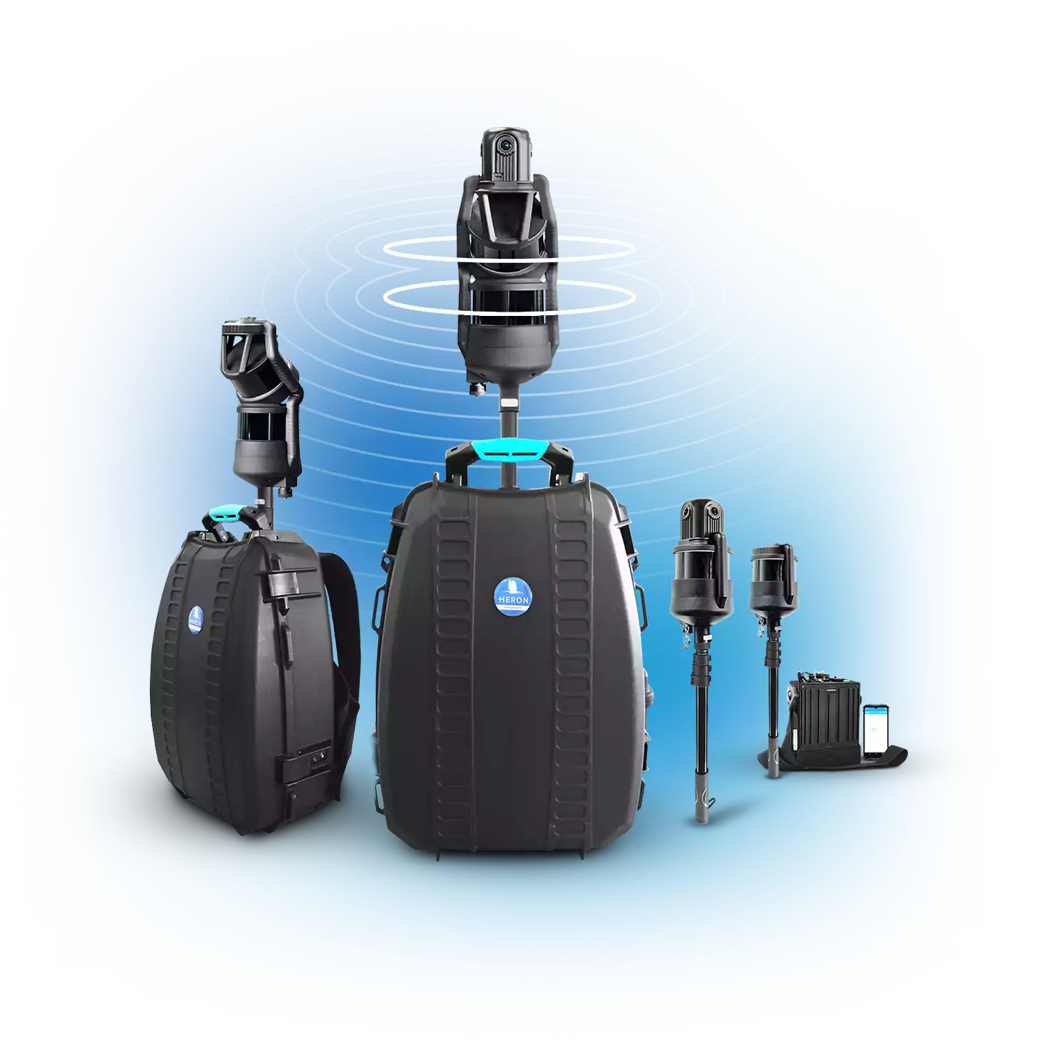
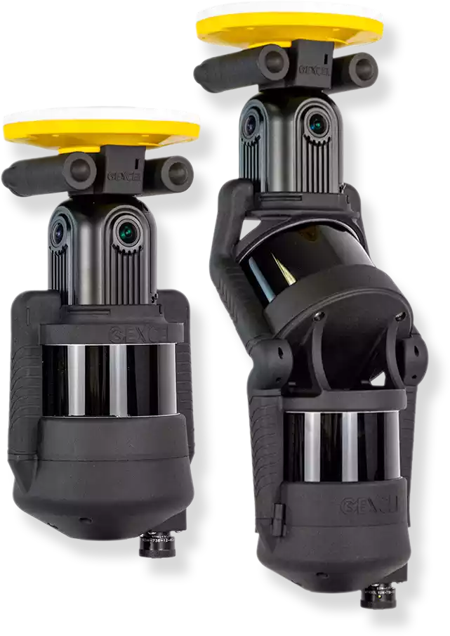
HERON—SLAM SYSTEMS
• Fast 3D mapping in any field
• 32-channel LiDAR sensors
• 300 meters max range
• 8K pano camera
• Advanced integrated software
• Geospatial and Digital Twin applications
HERON is developed under a licence of the European Commission Joint Research Centre
E. info@gexcel.it | P. (+39) 030 6595001
HEADQUARTERS
Via Branze 45, I-25123 Brescia (BS) ITALY