In the geospatial and 3D mapping industry, we develop and sell cutting-edge hardware and software solutions.
Improving the efficiency and effectiveness of 3D surveying, LiDAR data processing, monitoring and control has been our main goal for over 15 years.
3D Reality Capture Solutions
Take your 3D surveying to the next level. Explore GEXCEL technology.
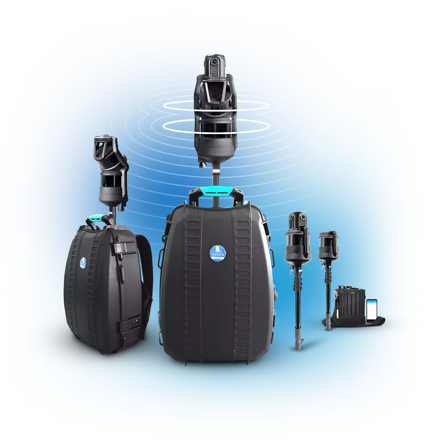
HERON
SLAM Systems
Powerful and versatile 3D mapping
• 3D fast acquisition in any field
• 32-channel LiDAR sensors
• 300 meters max range
• 8K pano camera
• Advanced integrated software
• Geospatial and Digital Twin applications
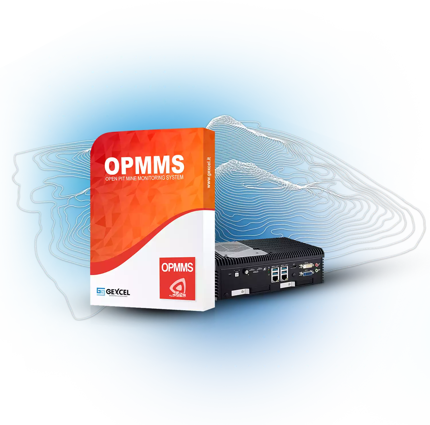
OPMMS
Open Pit Mine Monitoring System
Keep your site under control
• Displacements measurements
• Automatic alert notifications
• Customizable settings
• Volumetric variations
• Remote control
• Supporting worker safety
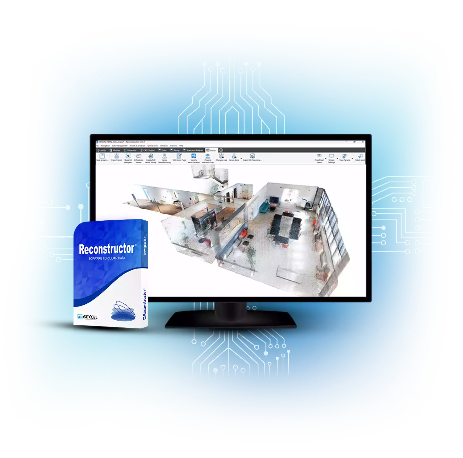
RECONSTRUCTOR
LiDAR Software
All you need to manage 3D and imaging data
• Automatic registration of 3D scans
• Various scanners supported (TLS, UAV, hand-held)
• Set of tools for Color and Mining
• Meshes, volumes, areas, profiles, contour lines and more
• Direct export to ReCap and several third-party software
• Perpetual license
• Special Edu conditions
Get in Touch
Our team is here for you if you need more information or have business requests
Events
Don’t miss the chance to talk with our experts and experience cutting-edge technology


Contents © Gexcel 2025. All rights reserved.
Gexcel srl • c/o CSMT Technology Hub – Via Branze 45, I-25123 Brescia (BS), Italy | VAT n. IT02943490983
To provide you with the best online experience this website uses cookies • Privacy Policy • Cookie Policy