download
DOWNLOAD FREE TOOL
GoBlueprint
- Intuitive X-ray image viewer with scaling.
- Easily provides distances, areas, volumes.
- Designed for non-specialized 3D users.
- Compatible with any Windows tablet or PC.
- Suitable for convenient result sharing.
Download Sample Maps
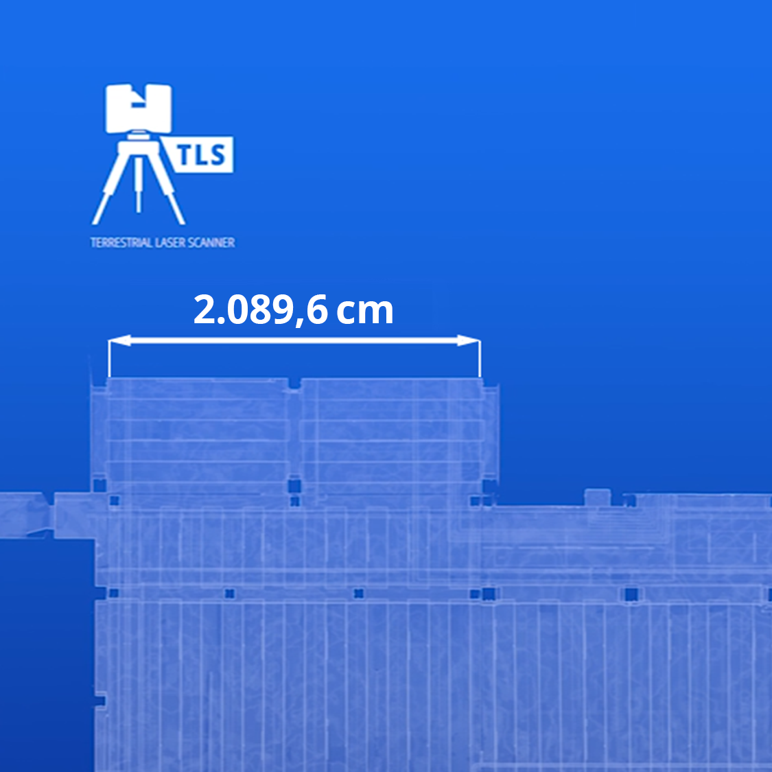
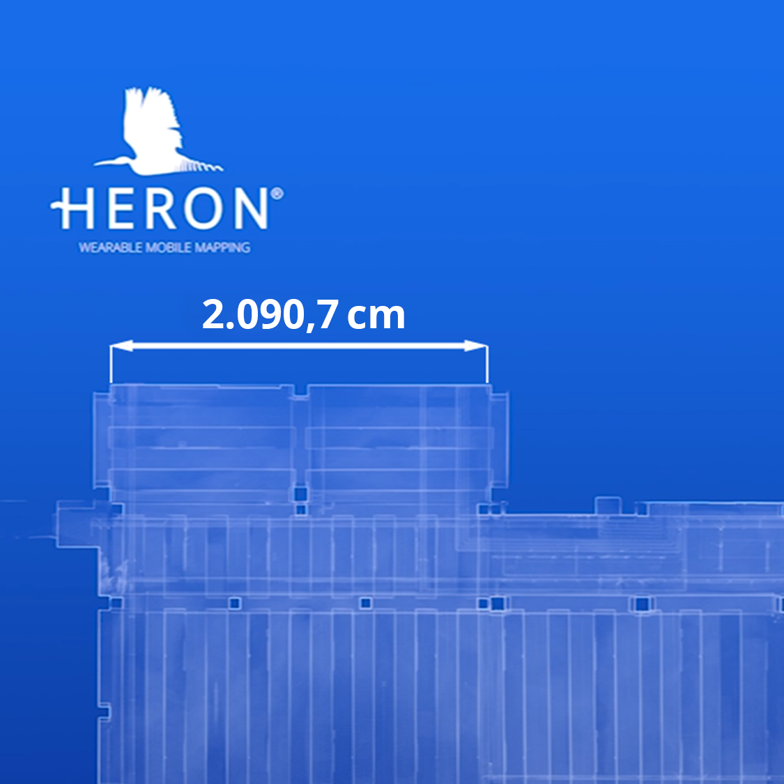
Taking measurements directly on the maps and comparing the accuracy of the two surveys will be a breeze
Underground car park surveyed with a Zoller+Fröhlich Terrestrial Laser Scanner
Underground car park surveyed with HERON Portable 3D Mapping System
After installing GoBlueprint, double-click the *.rec2dv files to open the map automatically. Enjoy it!
Fill out the form and download GoBlueprint
More Info? Get in touch!
Do not hesitate to contact us. Our team is here to support you.
E. info@gexcel.it | P. (+39) 030 6595001
HEADQUARTERS
Via Branze 45, I-25123 Brescia (BS) ITALY
Follow us!
CONTACT US


